

Overview Chart Bohuslän, Koster – Tistlarna
- Fast delivery
- Secure card payments
- Questions? Email us!
- Personal service
- BrandHydrographica
Description
Article no.: 9789198381498
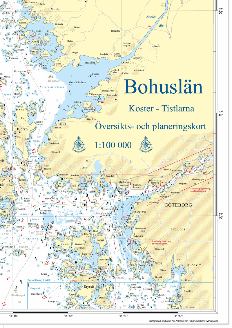
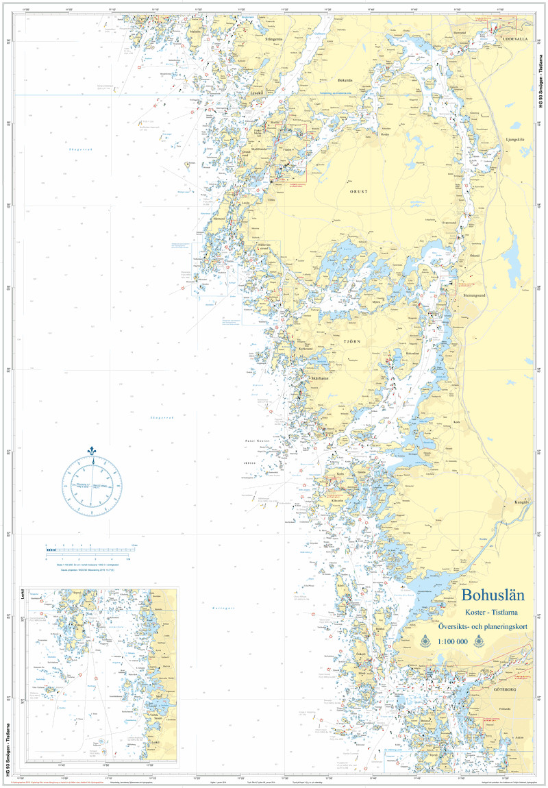
New overview map of Bohuslän from Hydrographica. The HG93 map of Bohuslän covers the coastline between Koster and Tistlarna. The map is at a scale of 1:100 000 and is printed in double-sided A1 format (59.4 x 84.1cm), folded down to A4 format.
The chart is ideal for planning and accompanying navigation with a plotter. It does not replace regular charts, but contains all the information needed quickly for daytime navigation. The chart is printed on a tear- and water-resistant synthetic material that can withstand normal use in a boat. All markings are included in the chart with a few exceptions. In densely marked areas, not all markings can be shown; a boating map or a larger scale chart is required. The depth contours identify the areas of water where you need to be extra vigilant and obtain a larger scale chart or a plotter with an updated chart.
Hydrographica also produces highly accurate specialty charts for difficult-to-navigate areas. The charts are produced by processing current aerial photographs supplemented by extensive field measurements. The special charts are made with permission from the Swedish Armed Forces and the Swedish Maritime Administration.