

NAUTICAL CHARTS SWEDEN
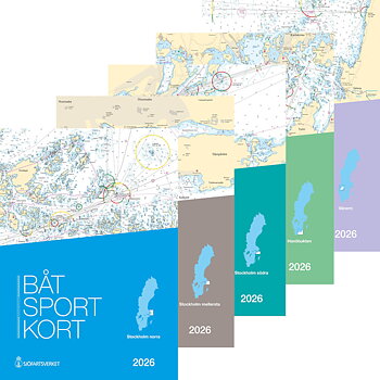
Boating charts are nautical charts fixed in a smaller format (A3) which is more convenient to use. Each boating chart contains many ordinary nautical charts of the most detailed scale for the specified area. You don't have to fiddle with the large traditional charts. Issued by the Swedish Maritime Administration.
General overview charts has a small scale and covers Sweden's entire lake territory as well as large parts of our neighboring countries' sea areas. The charts are used for navigation in the open sea and for overview planning. The overview charts are single-digit numbered.
Coastal charts are used when approaching and navigating in coastal waters and as a basis for planning. The coastal cards are numbered with two digits.
Archipelago charts are used when navigating inland and in coastal areas. Where the archipelago charts are covered by special charts, the information is reduced. However, the area can still be passed. Numbered with three digits.
Special charts and harbour charts covers traffic-intensive and difficult-to-navigate areas as well as certain harbors and harbor inlets. The relatively large map scale allows good readability. Numbered with 4 digits.
Hydrographicas charts are considerably more detailed than the Swedish Maritime Administration's chart. Hydrographica´s team have been out and plumbed popular areas in our archipelagos and lakes and made their own charts.