
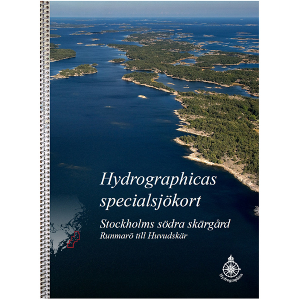
Nautical chart 616 over Stockholm's southern archipelago, Runmarö to Huvudskär
- Fast delivery
- Secure card payments
- Questions? Email us!
- Personal service
- BrandHydrographica
Description
Article no.: 9789198381412
New nautical chart of Stockholm's southern archipelago from Hydrographica. The chart is of the same type as the Swedish Maritime Administration, a spiral bound 40-page block in A3 format. The chart is very lavish and printed on water-resistant and durable plastic material. A perfect chart to have in the boat when you want to discover the area. The nautical chart covers Stockholm's southern archipelago from Runmarö to Huvudskär. The previous A2 charts of the corresponding area are replaced by the new boating map. A welcome piece of news is that Hydrographica has now also received permission from the Swedish Armed Forces to make charts of the Stabbo and Bodskär archipelagos off Ornö. These areas are now included in the new chart. ISBN 978-91-983814-1-2.
Map included in the boating map:
615-12 Munkö
615-13 Runmarö - Vidskären
615-14 Rågskär
615-15 Bullerö
616-01 Hamnskär - Ormskär
616-02 Långviksskär - Hallskär
616-03 Biskopsö - Finnskär
616-04 Huvudskär
616-05 Gillinge
616-06/07 Villinge/Norsten
616-08 Norra Fjärdlång
616-09 Södra Fjärdlång
616-10/11 Jungfruskär/Skeppskobben
Hydrographica produces very accurate specialized nautical charts of difficult to navigate areas. The charts are fully redrawn and produced by processing current aerial photographs supplemented by extensive field measurements and the charts open new, safe routes in previously "closed" areas. The special nautical charts are made with permission from the Swedish Armed Forces and the Swedish Maritime Administration.