Nautical chart 611 Stockholm outer archipelago northern part - Arholma - Söderarm - Rödlöga
- Fast delivery
- Secure card payments
- Questions? Email us!
- Personal service
Description
Article no.: 9789198526189
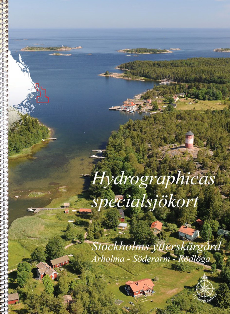
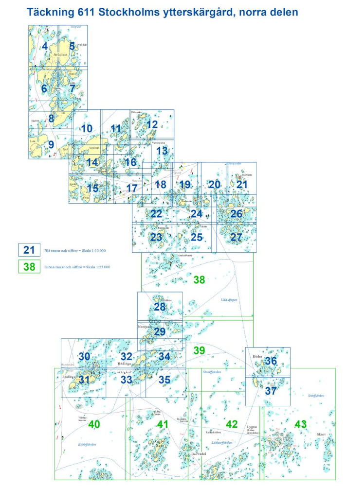
New boating map from Hydrographica over Stockholm Outer Archipelago northern part - Arholma - Söderarm - Rödlöga. The map is of the same type as the Swedish Maritime Administration, a 46-page spiral bound block in A3 format. The card is very lavish and printed on water-resistant and durable plastic material. A perfect boating card to have in the boat when you want to discover the area. The boating map is based on the previous A2 maps and the area is expanded.Scale 1:10 000. The open waters between these areas are covered by charts in scale 1:25 000. ISBN 978-91-985261-8-9
Hydrographica produces highly accurate specialized nautical charts of difficult-to-navigate areas. The charts are newly drawn and produced by processing current aerial photographs supplemented by extensive field measurements. The charts are produced with permission from the Swedish Armed Forces and the Swedish Maritime Administration.