
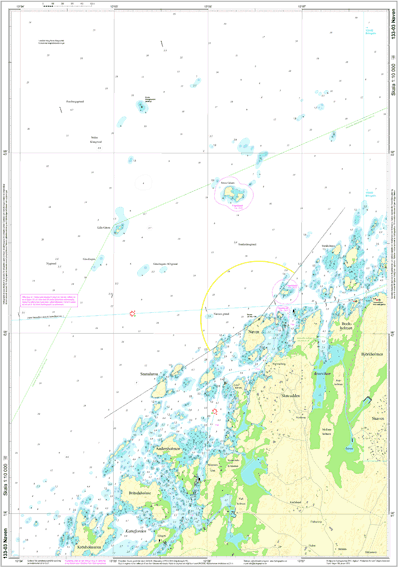
133-03 Naven
185.14 SEK
Nautical chart 133-03 of Naven by Hydrographica.
- Fast delivery
- Secure card payments
- Questions? Email us!
- Personal service
Description
Article no.: 133-03
Hydrographica produces highly accurate specialized nautical charts of difficult-to-navigate areas. The charts are fully redrawn and produced by processing current aerial images supplemented by extensive field measurements and the charts open new, safe routes in previously "closed" areas. The special sea charts are made with permission from the Swedish Armed Forces and the Swedish Maritime Administration.
The card is in A2 and printed in Polyart, an environmentally friendly plastic with a paper feel, making it completely water resistant and very durable.
A perfect special card to have in the boat when you want to discover the area!
The card is in A2 and printed in Polyart, an environmentally friendly plastic with a paper feel, making it completely water resistant and very durable.
A perfect special card to have in the boat when you want to discover the area!